Showing posts with label Glenbrook. Show all posts

Mar 3, 2022

Glenbrook Lagoon & Knapsack lookouts

Our walking group revisited Glenbrook recently, visiting Glenbrook Lagoon reserve and the two lookouts in Knapsack Reserve. (see my earlier Glenbrook Lagoon post)
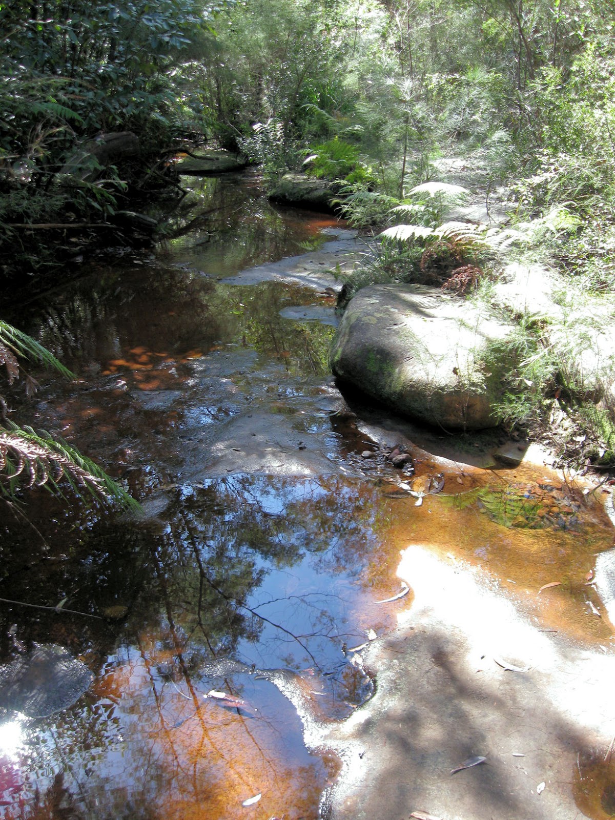
Glenbrook Lagoon


Elizabeth Lookout   


Elizabeth Lookout, on the Eastern escarpment of the Blue Mountains, overlooks Penrith and beyond. Sydney's CBD high-rise buildings can be seen in the far distance if the weather is suitable.


Marges Lookout (below) looks out over the Penrith Lakes parkland (see Penrith International Regatta Centre)  

The Knapsack lookouts can be accessed from the 'Lovers Walk' fire-trail at the end of Barnet Street.

Marges Lookout      


Dec 2, 2013

Euroka Clearing

We began this pleasant day walk at the Glenbrook entrance to the Blue Mountains National Park.

Glenbrook Creek near causeway


Sulphur Crested Cockatoos


We passed through an area with trees showing regrowth after hazard reduction burning (left), before reaching the popular picnic and camping area.

Euroka was cleared by early settlers for farming on the volcanic soil. There are forty camping sites at Euroka spread around five camping areas within the large grassy basin. (Camping sites must be booked)


Apple Tree Flat camping area
Our walk was around 8Km return from Glenbrook station via Bruce Road, with an extra 2Km loop from Euroka to the Nepean River.  There is a steep climb out from causeway to park entrance.
 map link

Sep 3, 2012

Glenbrook Creek to Red Hands Cave

To vary this well known walk in the lower Blue Mountains, our group descended to Glenbrook Creek down the steep slope from the West Glenbrook Nature Reserve (below left).


We followed the creek (above right) to the causeway. The track along the creek was overgrown until after Blue Pool, and although its picturesque, you don't have to reach the causeway by this route.     (see the links at the bottom of the page).

                  
                                      Glenbrook Creek (above)     Campfire Creek (below)


From the causeway we walked the Campfire Creek track to Red Hands Cave, before returning to the station along Bruce Road via the park entrance.      


             Location map

    NSW National Parks: Red Hands Cave            Wildwalks link     


Jun 24, 2011

Glenbrook Lagoon

Glenbrook Lagoon, in the lower Blue Mountains, is a rare upland wetland within the Hawkesbury-Nepean system, and provides habitat for flora and fauna species that are otherwise unusual in the area.


The lagoon was described during the historical crossing of the Blue Mountains by Blaxland, Wentworth and Lawson. In the late 1860’s the lagoon was resumed from the lands of Barnett Levy by the railways, and the storage capacity increased with the construction of a low dam (see road photo below) to provide water during the construction of the railway across the Blue Mountains. During the 1870’s water from the lagoon was used for the mountains (steam) trains.


Purple Swamphens (right) live in the marshes around the lagoon.


The lagoon is about 25 minutes walk from Glenbrook and Blaxland stations. There is a walking track around the lagoon, with parking off Glenbrook Drive near Olivet Street.


It is a further 2Km walk to Lennox bridge (above right), via Kodala Lane which connects Glenbrook Road to Kedron Steet. The photo above (left) shows the rough trail from the end of High Street to Lennox bridge on Mitchell’s Pass. The bridge built by David Lennox from sandstone quarried nearby, is the oldest stone arch bridge on the mainland, completed in 1833. 


There is a Lennox bridge both in the the Blue Mountains and also in Parramatta, as Joan Elizabeth pointed out in a comment to my Parramatta post.


A small shopping centre with restaurants, take away shops and a hotel is located near the lagoon at Kidman Street, off the Great Western highway.  Blue Mountains buses (route 690) is the local bus service.

Glenbrook Lagoon Bushcare Group.

Apr 26, 2011

Mount Portal Lookout

 This walk is in the Glenbrook section of the Blue Mountains National Park.


Portal Waterhole is on a looped side track off the Mount Portal lookout road.


The Lower Blue Mountains begins here, as it rises abruptly on the western side of the Nepean River.

Mt. Portal Lookout


Mount Portal Lookout overlooks the Nepean River and the Cumberland Plain south of Penrith.
We walked from Glenbrook station, but the lookout can be reached by 4WD.


Tunnel View Lookout

Tunnel View Lookout is a great vantage point with views across to the main western rail line between Lapstone and Glenbrook and of Glenbrook Gorge below. The lookout is only a stroll from the road.

Glenbrook Gorge


WildWalks information Tunnel Lookout  and Mt. Portal Lookout


My thanks to our walk leader John M.